West Lake Trail
Trail Length: 0.5 miles (800 meters) round trip
Wheelchair Accessible: Yes
Bicycles Allowed: No
Trail Description: This self-guided boardwalk trail wanders through a forest of white mangrove (Laguncularia racemosa), black mangrove (Avicennia nitida), red mangrove (Rhizophora mangle), and buttonwood (Conocarpus erectus) trees to the edge of West Lake.
Directions to Trail: Seven miles (11km) north of the Flamingo Visitor Center on the main park road.
Snake Bight Trail
Please note that the Snake Bight Trail is not currently being maintained because of potential damage to critical habitat in the area for the Cape Sable thoroughwort. This is a small herb in the sunflower family with bluish-purple flowers. Global distribution restricted to coastal ENP and a few sites in the Florida Keys.
Park staff are reviewing trail management techniques to develop strategies that won’t affect this habitat so that we can reinstate trail management in the future. For now, the trail remains open, but you should be aware of terrain that should be traversed carefully and may have vegetation, branches, or other flora and fauna that could affect your hike.
Trail Length: 1.6 miles (2.6 km) one way
Wheelchair Accessible: No
Bicycles Allowed: Yes, except on the boardwalk at the end of the trail.
Trail Description: Don’t let the name deter you! In this play on words, a “bight” is a bay (Snake Bight) within a larger bay (Florida Bay). Enter another world as you walk through a tropical hardwood hammock with dozens of tropical tree species. There’s excellent bird watching on the boardwalk at the end of the trail if you plan to arrive near high tide.
Directions to Trail: Four miles (6 km) north of the Flamingo Visitor Center on the main park road.
Rowdy Bend Trail
Please note that the Rowdy Bend Trail is not currently being maintained because of potential damage to critical habitat in the area for the Cape Sable thoroughwort. This is a small herb in the sunflower family with bluish-purple flowers. Global distribution restricted to coastal ENP and a few sites in the Florida Keys.
Park staff are reviewing trail management techniques to develop strategies that won’t affect this habitat so that we can reinstate trail management in the future. For now, the trail remains open, but you should be aware of terrain that should be traversed carefully and may have vegetation, branches, or other flora and fauna that could affect your hike.
Trail Length: 2.6 miles (4.2 km) one way
Wheelchair Accessible: No
Bicycles Allowed: Yes
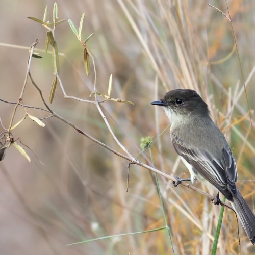
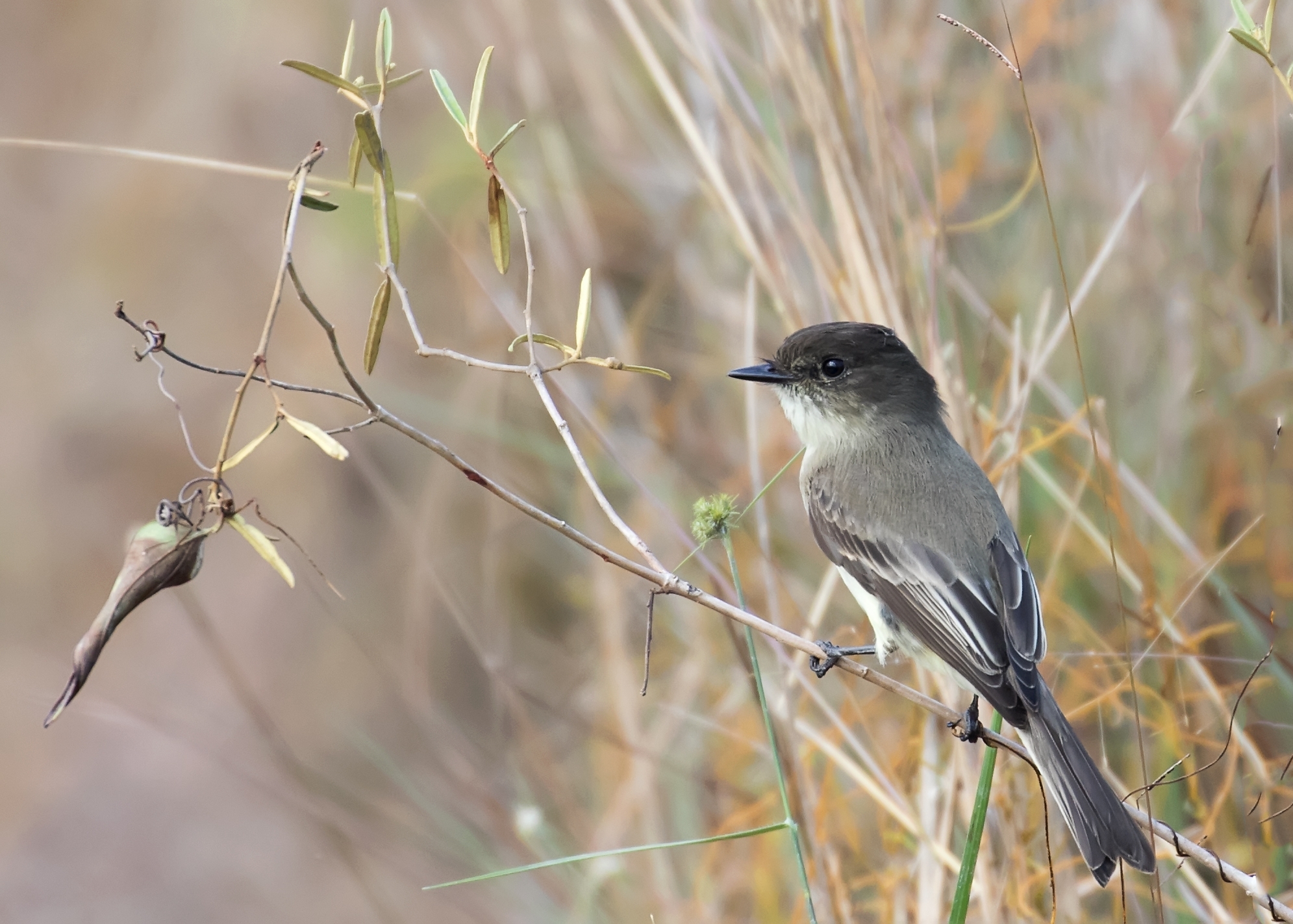
Trail Description: Explore an overgrown road bed through shady buttonwoods and open coastal prairie. This is an opportunity for good woodland bird watching. Combine this trail with the main park road (use caution!) and the Snake Bight Trail for a 12.6-mile round-trip bike ride from the Flamingo Visitor Center.
Directions to Trail: Three miles (5 km) north of the Flamingo Visitor Center on the main park road.
Christian Point Trail
Please note that the Christian Point Trail is not currently being maintained because of potential damage to critical habitat in the area for the Cape Sable thoroughwort. This is a small herb in the sunflower family with bluish-purple flowers. Global distribution restricted to coastal ENP and a few sites in the Florida Keys.
Park staff are reviewing trail management techniques to develop strategies that won’t affect this habitat so that we can reinstate trail management in the future. For now, the trail remains open, but you should be aware of terrain that should be traversed carefully and may have vegetation, branches, or other flora and fauna that could affect your hike.
Trail Length: 1.8 miles (2.9 km) one way
Wheelchair Accessible: No
Bicycles Allowed: No
Trail Description: Wander along a rustic path through a wide diversity of habitats. The trail begins in dense mangroves and buttonwoods full of bromeliads, or aerial plants. Next, investigate the unusual, salt-loving vegetation of open coastal prairie. Dead buttonwood snags interrupt these lands that were shaped by hurricanes. Finally, you’ll end up along the shore of Snake Bight, best viewed near high tide.
Directions to Trail: One mile (2 km) north of the Flamingo Visitor Center on the main park road.
Bear Lake Trail
Please note that the Bear Lake Trail is not currently being maintained because of potential damage to critical habitat in the area for the Cape Sable thoroughwort. This is a small herb in the sunflower family with bluish-purple flowers. Global distribution restricted to coastal ENP and a few sites in the Florida Keys.
Park staff are reviewing trail management techniques to develop strategies that won’t affect this habitat so that we can reinstate trail management in the future. For now, the trail remains open, but you should be aware of terrain that should be traversed carefully and may have vegetation, branches, or other flora and fauna that could affect your hike.
Trail Length: 1.6 miles (2.6 km) one way
Wheelchair Accessible: No
Bicycles Allowed: No
Trail Description: Journey through a dense hardwood hammock mixed with mangroves. The trail follows the old Homestead Canal, built in 1922, and is an excellent area for woodland birds. There are more than 50 different tree species.
Directions to Trail: Two miles (3 km) north of the Flamingo Visitor Center. Bike, drive or walk to the end of Bear Lake Road to begin this trail, which ends at Bear Lake. No RVs due to low overhead and minimal turn-around space.
The Bear Lake Road is closed to private motor vehicles as posted due to water on the road, typically June through mid-October or November. Water on the road creates potholes, presenting a threat of damage to vehicles transiting the roadway. It also creates a safety hazard when drivers try to avoid the standing water and get too close to the Button Wood Canal.
Eco Pond Trail
Trail Length: 0.5 miles (800 meters) round trip
Wheelchair Accessible: No
Bicycles Allowed: No
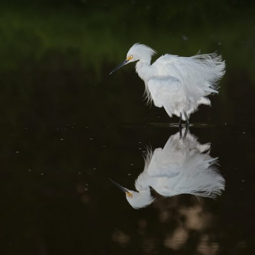
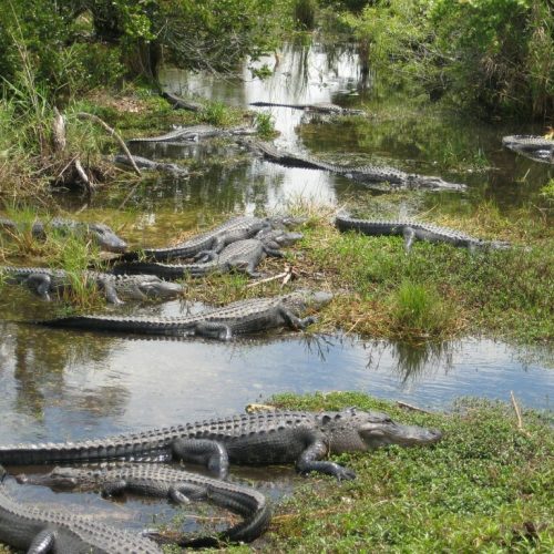
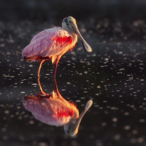
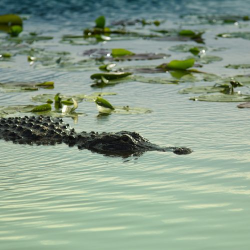
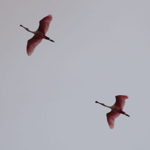
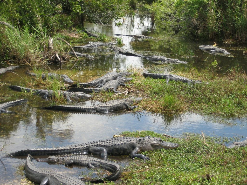
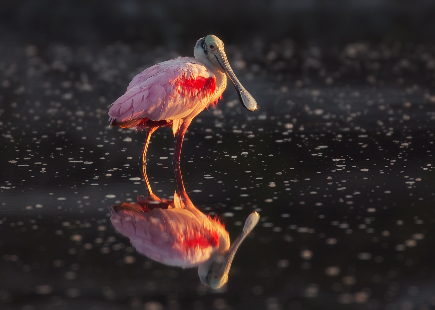
Trail Description: Stroll around this freshwater pond and enjoy a wide variety of wading birds, songbirds, ducks, and other wildlife. Alligators and Florida softshell turtles often cruise the pond. Visitors should know that the ramped viewing platform was heavily damaged by Hurricanes Katrina and Wilma in 2005 and has been removed.
Directions to Trail: On the right past the Flamingo Visitor Center.
Guy Bradley Trail
Trail Length: 1 mile (1.6 km) one way
Wheelchair Accessible: Yes
Bicycles Allowed: Yes
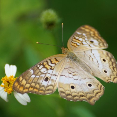
Trail Description: Mingle with a variety of birds and butterflies as you amble along the shore of Florida Bay. Old pier pilings are a reminder that Flamingo was once a small fishing village. The trail was named for Audubon warden Guy Bradley, who was killed in 1905 while trying to protect a bird rookery in Florida Bay.
Directions to Trail: This trail is a scenic short-cut from the Flamingo Visitor Center to the Flamingo Campground day-use area.
Bayshore Loop Trail
Please note that the Bayshore Loop Trail is not currently being maintained because of potential damage to critical habitat in the area for the Cape Sable thoroughwort. This is a small herb in the sunflower family with bluish-purple flowers. Global distribution restricted to coastal ENP and a few sites in the Florida Keys.
Park staff are reviewing trail management techniques to develop strategies that won’t affect this habitat so that we can reinstate trail management in the future. For now, the trail remains open, but you should be aware of terrain that should be traversed carefully and may have vegetation, branches, or other flora and fauna that could affect your hike.
Trail Length: 2 miles (3.2 km) round trip
Wheelchair Accessible: No
Bicycles Allowed: No
Trail Description: Meander along the shore of Florida Bay, watching for remnants of an outpost fishing village. Observe the effects of hurricanes Katrina and Wilma on the landscape.
Directions to Trail: Begin at the Coastal Prairie Trailhead at the back of Loop “C” in the Flamingo Campground. Veer left at the trail junction to the bay.
Coastal Prairie Trail
Please note that the Coastal Prairie Trail is not currently being maintained because of potential damage to critical habitat in the area for the Cape Sable thoroughwort. This is a small herb in the sunflower family with bluish-purple flowers. Global distribution restricted to coastal ENP and a few sites in the Florida Keys.
Park staff are reviewing trail management techniques to develop strategies that won’t affect this habitat so that we can reinstate trail management in the future. For now, the trail remains open, but you should be aware of terrain that should be traversed carefully and may have vegetation, branches, or other flora and fauna that could affect your hike.
Trail Length: 7.5 miles (12 km) one way
Wheelchair Accessible: No
Bicycles Allowed: No
Trail Description: Step back in time as you walk this old road once used by cotton pickers and fishers. Open prairies of succulent coastal plants dotted with shady buttonwoods surround you as you journey towards the shore of Florida Bay. The trail ends at Clubhouse Beach; a permit for backcountry camping required.
Directions to Trail: Begins at the rear of Loop “C” of the Flamingo Campground.
Lat-Long : 25.136883, -80.948650
Hells Bay Canoe Trail
This sheltered route weaves through mangrove-lined creeks and ponds to a series of small bays. You will see two backcountry chickees and a ground site along the way. A backcountry permit is required for overnight camping.
Trail Length: 5.5 miles one way to Hells Bay Chickee. This is an in–and–out trail, marked by more than 160 numbered white PVC pipes Allow 6-8 hours to leisurely paddle the entire path and back.
Season: Low water levels in late February through May can make the trail difficult or impassable. Check with a ranger.
Safety: The mangrove tunnels through which much of the trail winds can be buggy, particularly during the summer and fall months.
Recommended supplies include water, sunscreen, sunglasses, insect repellent or bug jacket, rain gear, snacks, PFD for each canoeist, an extra paddle, and a waterproof bag for gear. Any further navigation beyond the marked canoe trail requires Nautical chart #11433.
“Hell to get into, and Hell to get out of” is what old-timers claimed about the mangrove maze leading into Hells Bay. Here, near the headwaters of the
mangrove swamp, a confusing and seemingly infinite series of ponds, islands, and narrow creeks becomes the landscape’s dominant theme. Whether you complete the whole trail or just paddle for an hour or two, your experience will expose you to the complex and distinctive mangrove ecosystem.
Nine Mile Pond Canoe Trail
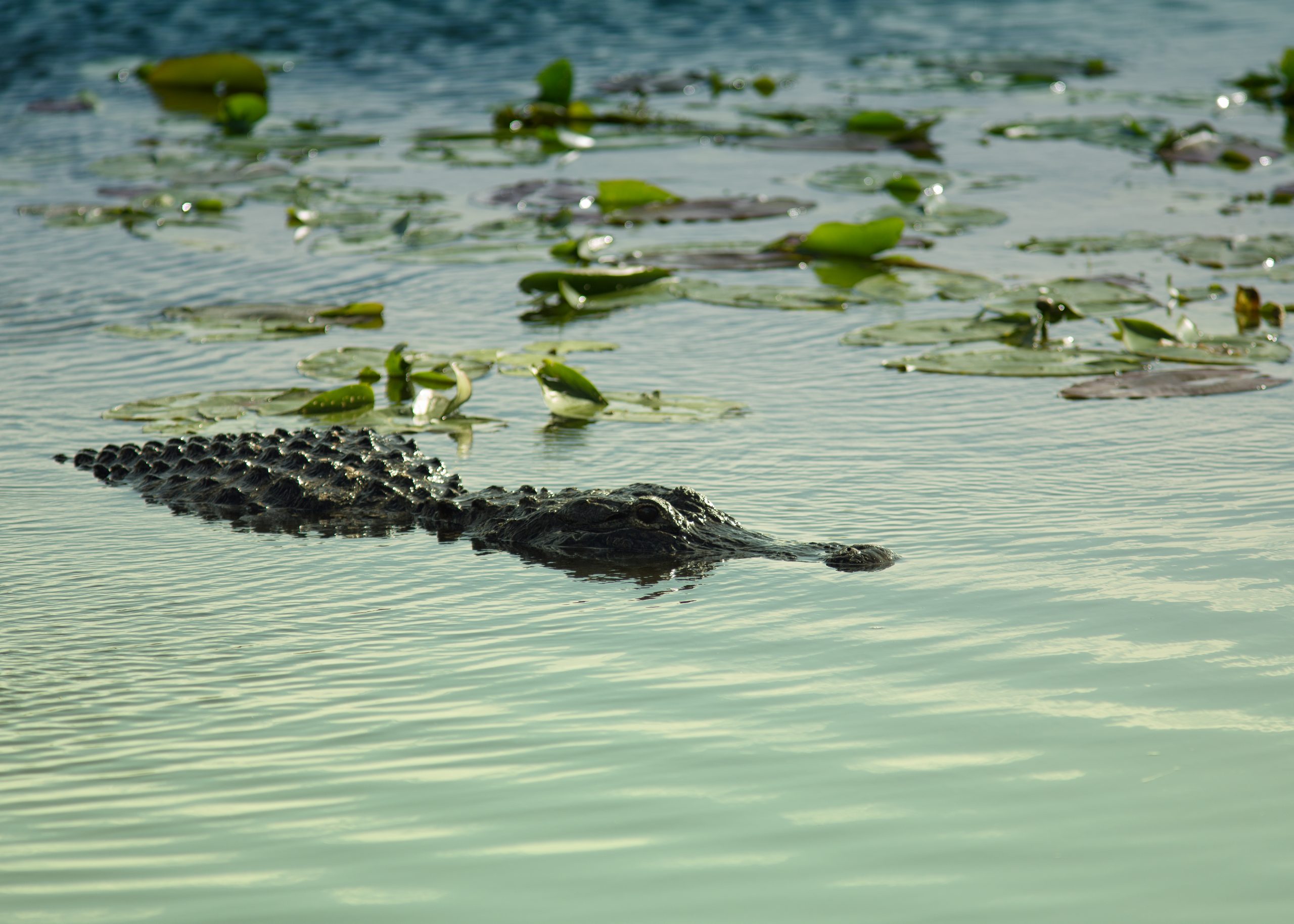
A meeting ground of marsh and mangrove environments. You may see alligators, wading birds, turtles, and fish.
Trail Length: A five-mile loop, marked with 116 numbered white PVC pipes. You can take a shortcut at marker #44, which will shorten the trip by one and a half miles. Allow 4 to 5 hours to leisurely paddle this loop.
Season: Low water levels in late February through May can make the trail difficult or impassable. Check with a ranger.
Safety: Use care when crossing the deep, open water of the pond. Insects are generally not a problem in the open marsh through which the trail
weaves. Avoid tree islands in the summer and fall months as they harbor mosquitoes in and around them.
Recommended supplies include water, sunscreen, sunglasses, bug spray, rain gear, snacks, PFD for each canoeist, an extra paddle, and a
waterproof bag for gear.
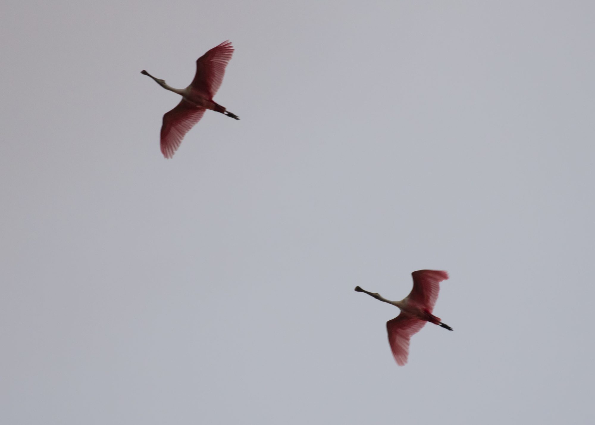
Crossing Nine Mile Pond can be the most rigorous part of the five-mile trail. Strong winds frequently ripple the pond’s surface. Head directly across the pond from the parking area (eastward) toward a single white marker, #1. Scan the water and edges of the pond for anhingas, cormorants, herons, great egrets, and other feathered feeders. Look for floating “logs” with eyes; often, shy alligators are spotted amongst the cattails.